FloodNet—an innovative flood-monitoring system developed to track water levels in New York City’s most flood-prone neighborhoods—is going international. The technology is now being used as a model for new projects in Brazil and Puerto Rico, signaling a major milestone in global urban climate resilience efforts.
Launched in 2019 and co-led by Brooklyn College and CUNY Graduate Center (GC) Earth and Environmental Sciences Professor Brett Branco in collaboration with scientists from the GC and New York University, FloodNet uses a network of solar-powered sensors to monitor real-time water levels. These ultrasonic distance sensors are strategically placed in vulnerable areas across the city, including Coney Island, Far Rockaway, and Staten Island.
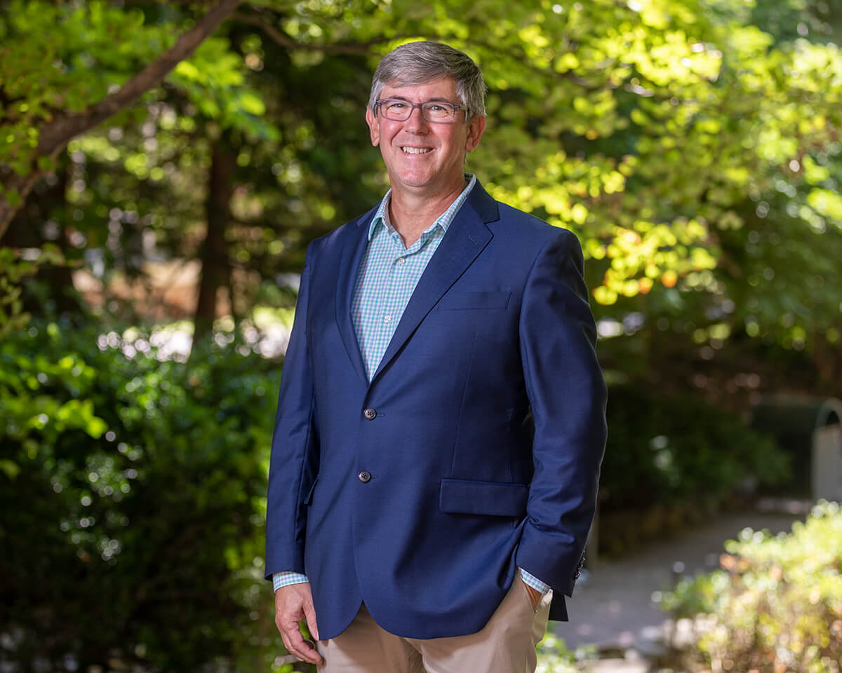
Also the Director of the Science and Resilience Institute at Jamaica Bay, Branco leads a variety of projects on topics including urban flooding and nature-based solutions to water quality and climate change challenges.
To date, the FloodNet team has deployed approximately 300 sensors throughout New York City. The data they collect is transmitted to a dynamic, real-time database and displayed on an interactive map, providing valuable insights for residents, city planners, and emergency management teams. As climate change increases the frequency and severity of urban flooding worldwide, FloodNet’s expansion to Brazil and Puerto Rico marks an important step toward building more resilient cities through accessible, community-driven technology.
Read more about the expansion from CUNY Graduate Center here.